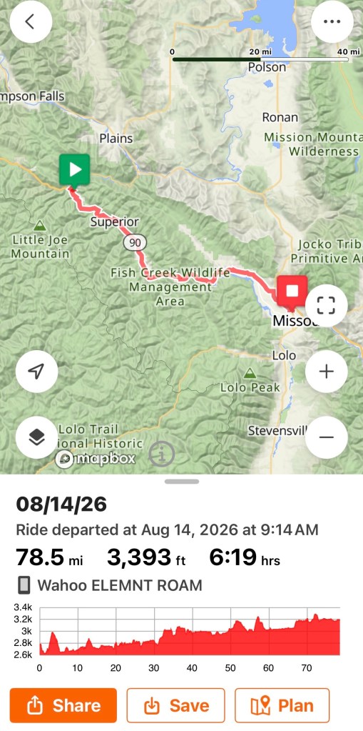
Biking: 78 miles (Denise)/ 81 miles (Anita and Mark)
Long day in the saddle. We were able to reroute and skip some gravel roads today, shortening our route by about six miles, but that meant riding up on I-90 twice. Each time was only one exit and less than 2 miles. Otherwise, we were on side roads with nice views.
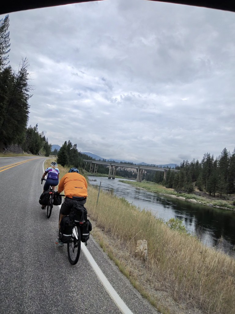
Anita wisely says every day that we can’t blindly trust the directions in the RWGPS app. Sometimes it tells us to take a road that doesn’t exist, and sometimes it adds unnecessary turns and makes the route longer. So, we are frequently at a crossroads on our phones trying to triangulate between RWGPS, Google Maps, and Apple Maps.
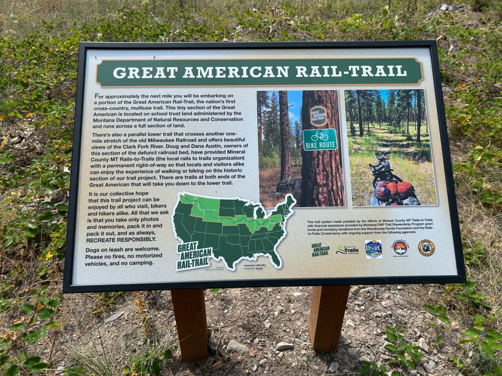
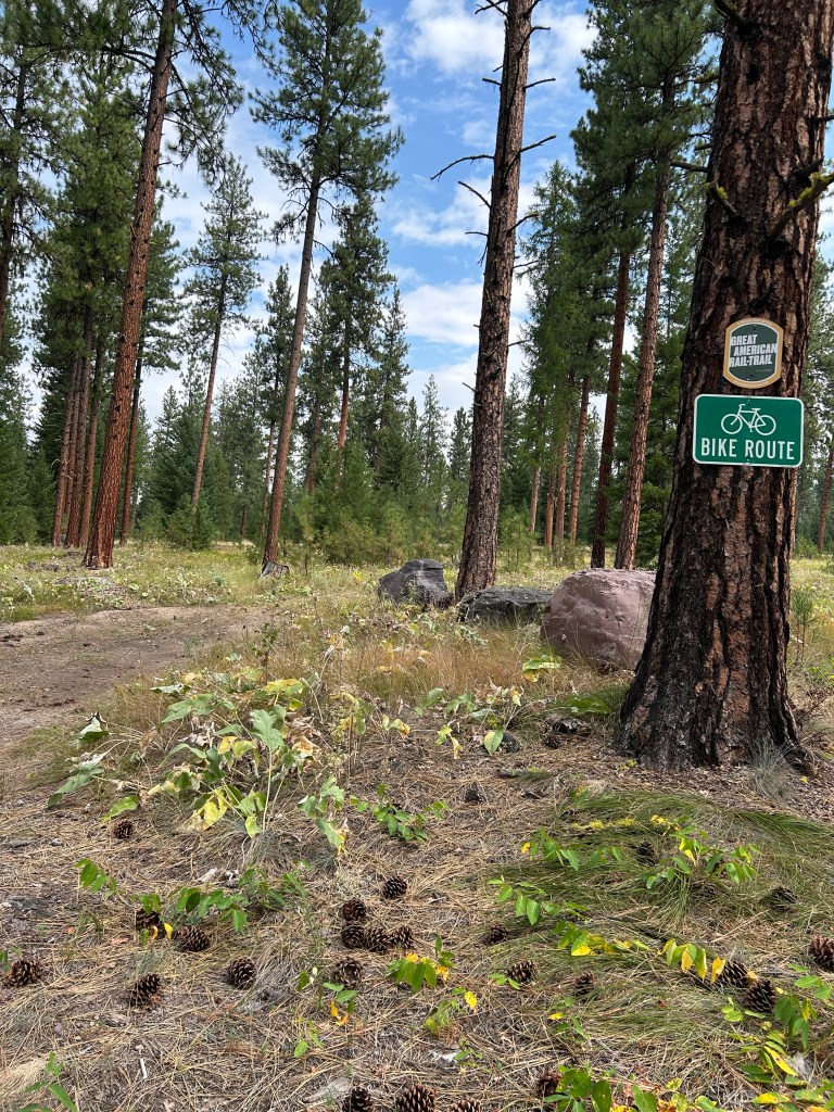
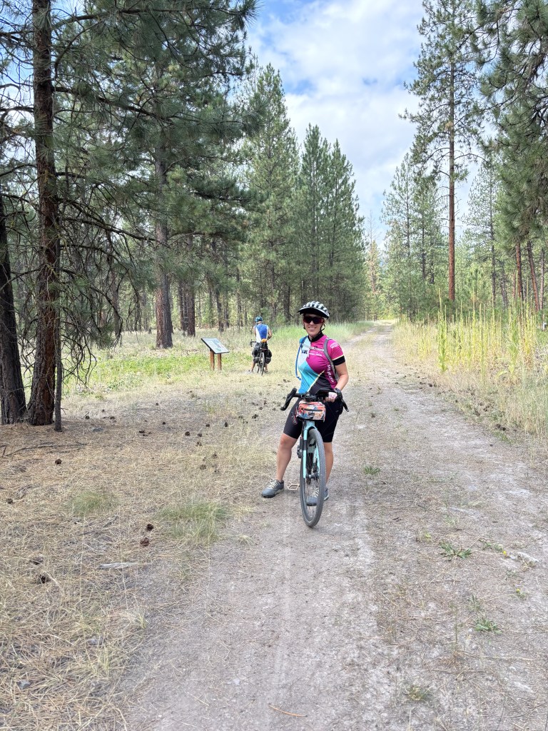
And, sometimes even after consulting all three sources, we still have to guess which is the best option. Sometimes we’re right, and sometimes we’re sorry. I’ve learned that Anita is usually right. Today, we trusted Mark to make the decision. We were at a crossroads, and we could take a very sketchy looking climb on thick gravel, or a beautiful gravel road that seemed to descend and then climb. Mark felt confident that the gravel climb was right, and given my bad experience with gravel yesterday, I was very skeptical. But, we made the climb and at the top was a beautiful trail that was apparently part of the Great American Rail-Trail. Who knew? It was a smooth gravel path that let to a deserted paved road that was originally I-10. That’s good riding. What a relief!
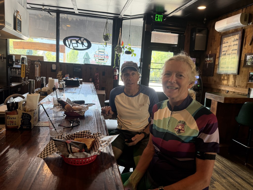
We stopped at a tavern in Alberton for lunch and sat at the bar. No drinking and biking, but we had some really great sandwiches. I had a burger – a great meal for a long day of biking.
We finished the day in Missoula with Mark and Anita staying with former neighbors, Sabine and Roger. Brian and I are getting things ready for our trip home to help our daughter get set up for college.
Next week Anita and Mark will continue on the route while we’re in PA. Then, we’ll reconnect the following weekend for our final seven weeks of riding.
RWGPS for today:


Leave a Reply