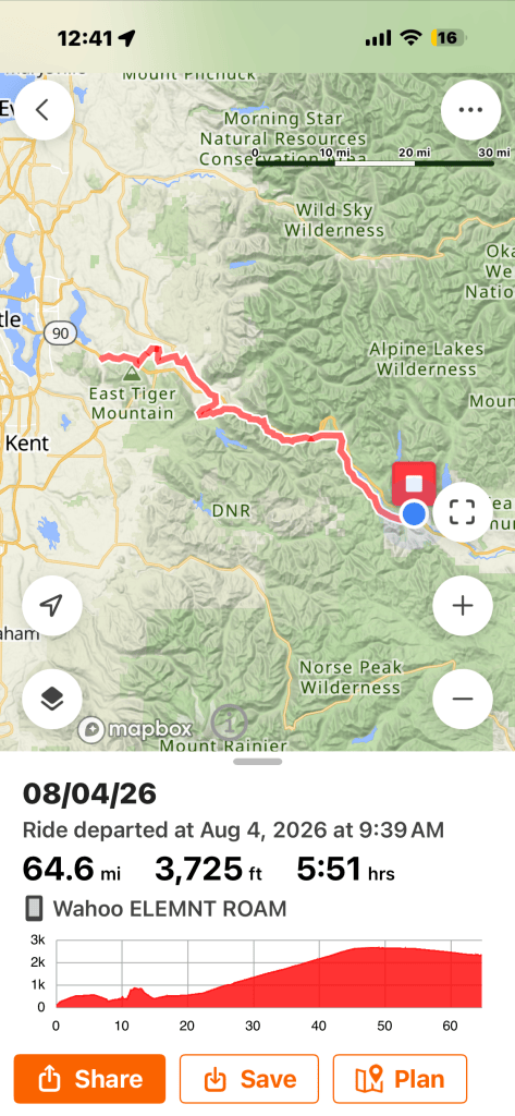
Biking: 64 miles (but longer for Anita and Mark)
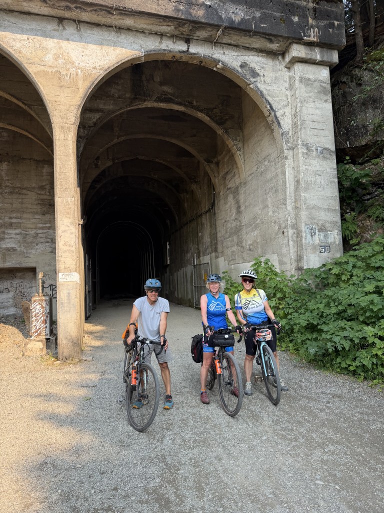
The headline for today is the Palouse to Cascades Trail is a must-ride for any gravel cyclist. Wow. The views, the gravel, the bridges, the tunnel, it’s amazing and totally worth the trip.
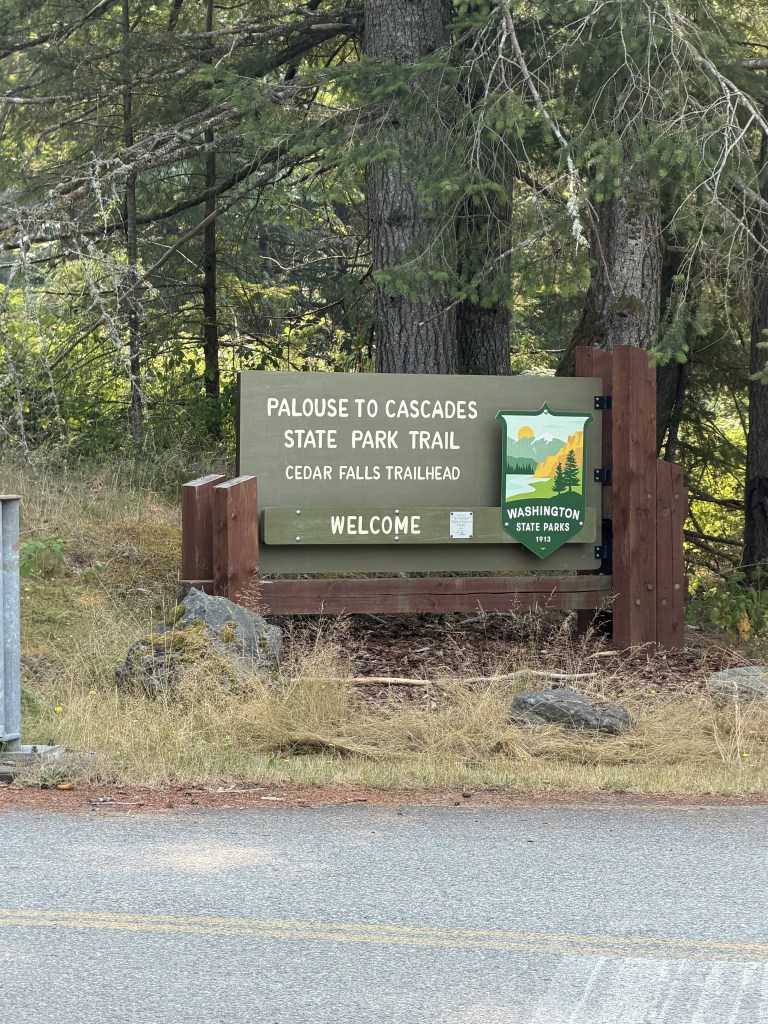
The subtitle for today is Choose-Your-Own-Adventure. It has advantages and disadvantages, and today we experienced both when we went off course and decided to just wing it. RWGPS recommended a route, but we chose our own adventure, and that led to three hike-a-bike situations, climbing a mile-long single track/hiking trail, and lots of turning around. In other words, a very long day, but one that kept me chuckling the whole time.
One thing I learned about Anita and Mark is that they tend to view warning signs with skepticism. Early in the day on the Issaquah trail, we saw a “trail closed” sign right before a series of steep switchbacks. No worries. Let’s go ahead and climb anyway. Chances are, it’s an old sign. So, we did. At the top, we found a beautiful trail for about a half mile and then another sign – “Danger, bridge closed” – with no way around. What should we do?
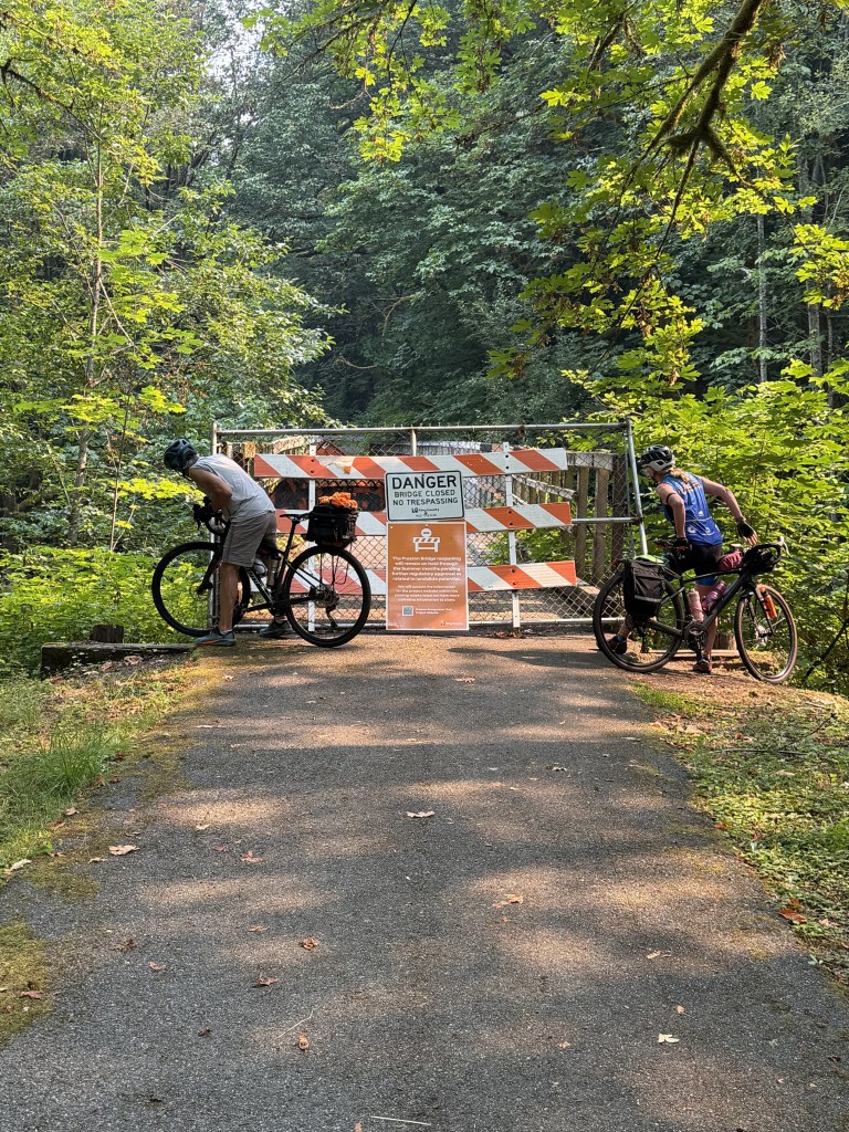
My thoughts – I guess we have to climb back down those switchbacks. Bummer, but what other option to do have? I present to you, the other option.
Get the bikes on the bridge and ourselves on the bridge.
And, then ride across, or in my case, walking across.
We’ve already made two tough choices. No turning back now. Except, we realized the trail we were on didn’t lead us to our destination, the Palouse to Cascades Trail. We came to an intersection, and had three options. We could turn right, reconnect with the RWGPS route which might add a few miles, but we would know where to go from there. That’s the safe route. Second, turn left and go to a town nearby to have lunch and figure out a route that might still get us to the trail without adding more mileage. A reasonable idea. Or, third, hike our bikes up a mile-long single track that is really just for hikers to the top of a mountain and then see where we go from there. Yep, that’s the one we did.
It all turned out ok because the town at the top of the mountain had a pizza shop and a Starbucks. Funny story. I’m waiting in the Starbucks for my drink, and a curious couple started asking me about our trip. The husband asked me where we started riding from today, and I said Issaquah. He looked very confused and asked me how we biked there from Issaquah…dude, I don’t even know how to explain it.
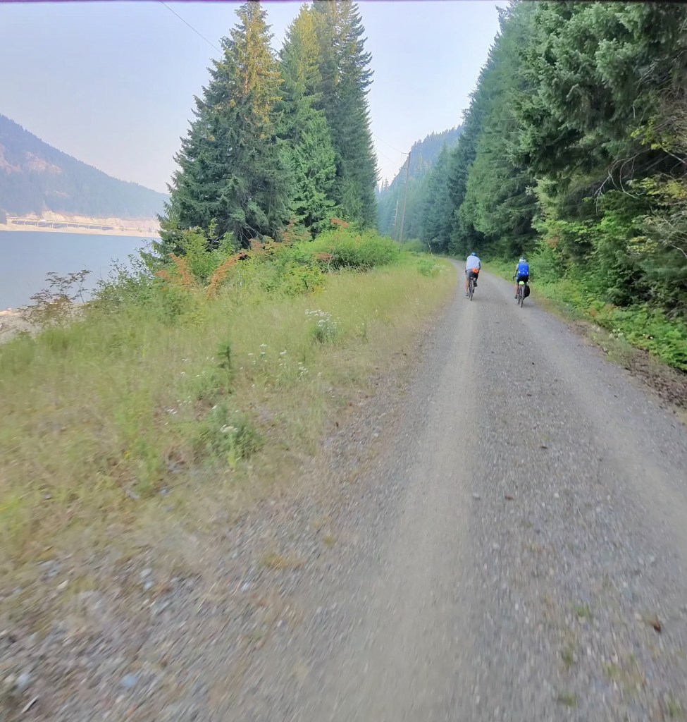
As you know, we did eventually find the Palouse to Cascade Trail and spent about 37 miles of our day on the trail. It reminded me a little bit of the C&O Canal Trail and a bit of Black Moshannon State Park gravel – but high on a mountain with incredible views.
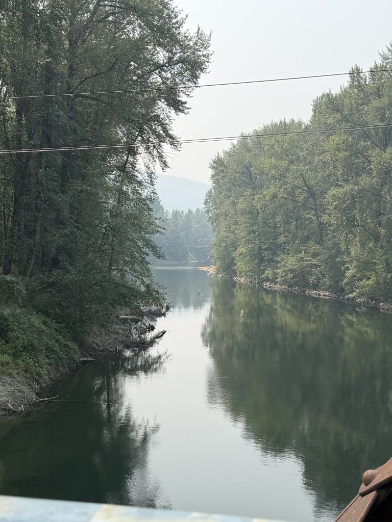
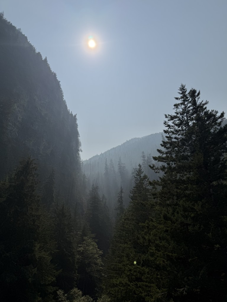
Washington is experiencing a lot of smoke because of the fires in Spokane, but the views were still stunning.
I ended my ride at Lake Easton where Brian was waiting in the RV, but Anita and Mark decided to continue to Cle Elum to find a hotel for the night. I suspect their total mileage for today was closer to 80 miles. But, that means they have already covered 17 miles of tomorrow’s ride. So, hopefully, they’ll get to sleep in a bit.
Tomorrow we ride to Ellensburg where we take a much-needed rest day on Thursday.
RWGPS for today


Leave a Reply